
In the rapidly evolving business landscape, technology continues to provide innovative solutions to enhance efficiency and effectiveness. One of the standout advancements in recent years is the use of drone survey services. As companies increasingly seek smarter, more integrated approaches to their operations, Aeroyantra Technologies Private Limited is at the forefront of providing state-of-the-art drone solutions for various industries. In this blog, we will explore how businesses can leverage drone survey services to save time, reduce costs, and improve accuracy.
What Are Drone Survey Services?
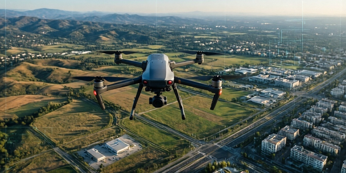
Drone survey services involve the use of unmanned aerial vehicles (UAVs) equipped with advanced imaging technologies to collect data from terrains that are often challenging to assess through traditional surveying methods. These drones can gather high-resolution images, 3D models, and topographical data that help businesses make informed decisions based on accurate and reliable information.
Aeroyantra Technologies specializes in offering tailored drone survey services that cater to the specific needs of various industries, including construction, agriculture, and infrastructure development. Our expert team employs cutting-edge technology, ensuring that data collection is not only efficient but also precise, allowing businesses to visualize their projects better.
Time-Saving Benefits of Drone Survey Services
Time is a precious resource in any industry. Traditional survey methods can be time-consuming and often involve manual labor, which delays project timelines. Here’s how drone survey services can save valuable time:
Rapid Data Collection: Drones can cover large areas in a remarkably short period. With the ability to capture vast amounts of data quickly, businesses can obtain necessary information without the long waiting periods typical of ground surveys.
Real-time Data Processing: Advanced software allows for quick data analysis and processing. This means that businesses can receive actionable insights almost immediately, accelerating decision-making processes.
Reduced Mobility Challenges: Drone surveys can be conducted in locations that are difficult or dangerous for survey crews to access. This capability mitigates delays associated with difficult terrain, adverse weather conditions, or safety concerns.
Cost Efficiency Through Drone Survey Services
The financial aspect is often a key consideration when adopting new technology. Drone survey services can significantly reduce costs associated with surveying, construction, and project management through:
Lower Labor Costs: By minimizing the need for a large survey team, businesses can reduce labor costs. Drones perform tasks that would typically require multiple professionals, allowing teams to focus on analysis rather than data collection.
Fewer Resources Required: Traditional surveying may necessitate multiple resources, such as vehicles, equipment, and materials. Drone surveys streamline the process, cutting down on the resources needed for data collection.
Reduction in Project Delays: By speeding up the survey process, businesses can meet project deadlines more effectively, reducing the costs associated with delays and overruns.
Improved Accuracy and Data Quality
Accurate data is crucial for effective decision-making and project execution. Drone survey services offer several advantages in terms of accuracy:
High-resolution Imagery: Drones equipped with high-definition cameras and sensors can capture detailed images that enhance the quality of data collected. The precision offered by drone technology often exceeds that of traditional methods.
Consistent Data Collection: Drones provide a uniform and systematic approach to data collection, reducing human error and variability. This consistency is essential for reliable data analysis and interpretation.
3D Modeling and Mapping: Advanced drone technology can generate 3D maps and models with pinpoint accuracy. This capability allows businesses to visualize and analyze their areas of interest deeply, aiding in planning and project execution.
Applications of Drone Survey Services
The versatility of drone survey services means they can be applied in various sectors. Here are some businesses benefitting from Aeroyantra’s drone services:
Construction: Construction companies can use drone surveys to monitor site progress, perform inspections, and create accurate site plans. Drones can identify potential issues before they escalate into costly problems.
Agriculture: Farmers can enhance crop monitoring and management through aerial imaging—allowing for better assessment of crop health, irrigation needs, and land management practices.
Infrastructure: For sectors like mining and railways, drones facilitate inspections that can be dangerous or costly with traditional methods. They allow for the monitoring of structures and land with precision.
Conclusion
Incorporating drone survey services into business operations is not just a trend but a shift towards more efficient, cost-effective, and accurate practices. Aeroyantra Technologies Private Limited is dedicated to providing comprehensive drone survey solutions tailored to our clients’ unique needs. By harnessing the power of drone technology, businesses can enhance their operational capacities and make decisions backed by reliable data. Embrace the future of surveying and let Aeroyantra be your trusted partner in innovation.
FAQs
1. What types of data can drone survey services collect?
Drone survey services can collect various types of data, including high-resolution images, 3D models, topographical information, thermal imaging, and more.
2. Are drone surveys safe?
Yes, drone surveys are conducted under strict safety protocols and regulations. They often mitigate risks associated with manual surveying in hazardous environments.
3. How long does it take to complete a drone survey?
The duration of a drone survey depends on the size and complexity of the area being surveyed. However, drone surveys are generally completed much faster than traditional methods.
4. Can drone surveys be used for large-scale projects?
Absolutely! Drone survey services are highly effective for large-scale projects, allowing for efficient data collection across extensive areas.
5. How can businesses get started with drone survey services?
Businesses interested in drone survey services should consult with a provider like Aeroyantra Technologies to discuss their specific needs and receive a tailored proposal.
For more details on our drone survey services, visit Aeroyantra Technologies Private Limited. Discover how we can help redefine your business operations with cutting-edge drone technology.